LIDAR SCANNING

Two images side by side. The image on the left is of a man dressed in workwear and a high vis jacket, he's looking at a LiDAR scanner. On the right, there is a tablet screen showing the LiDAR scanner at work.

Nationwide 3D LiDAR Scanning and Measured Building Survey Services

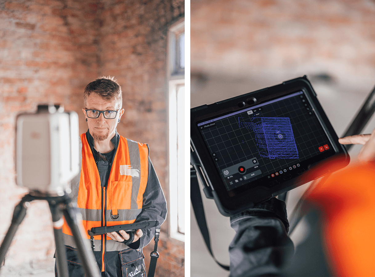
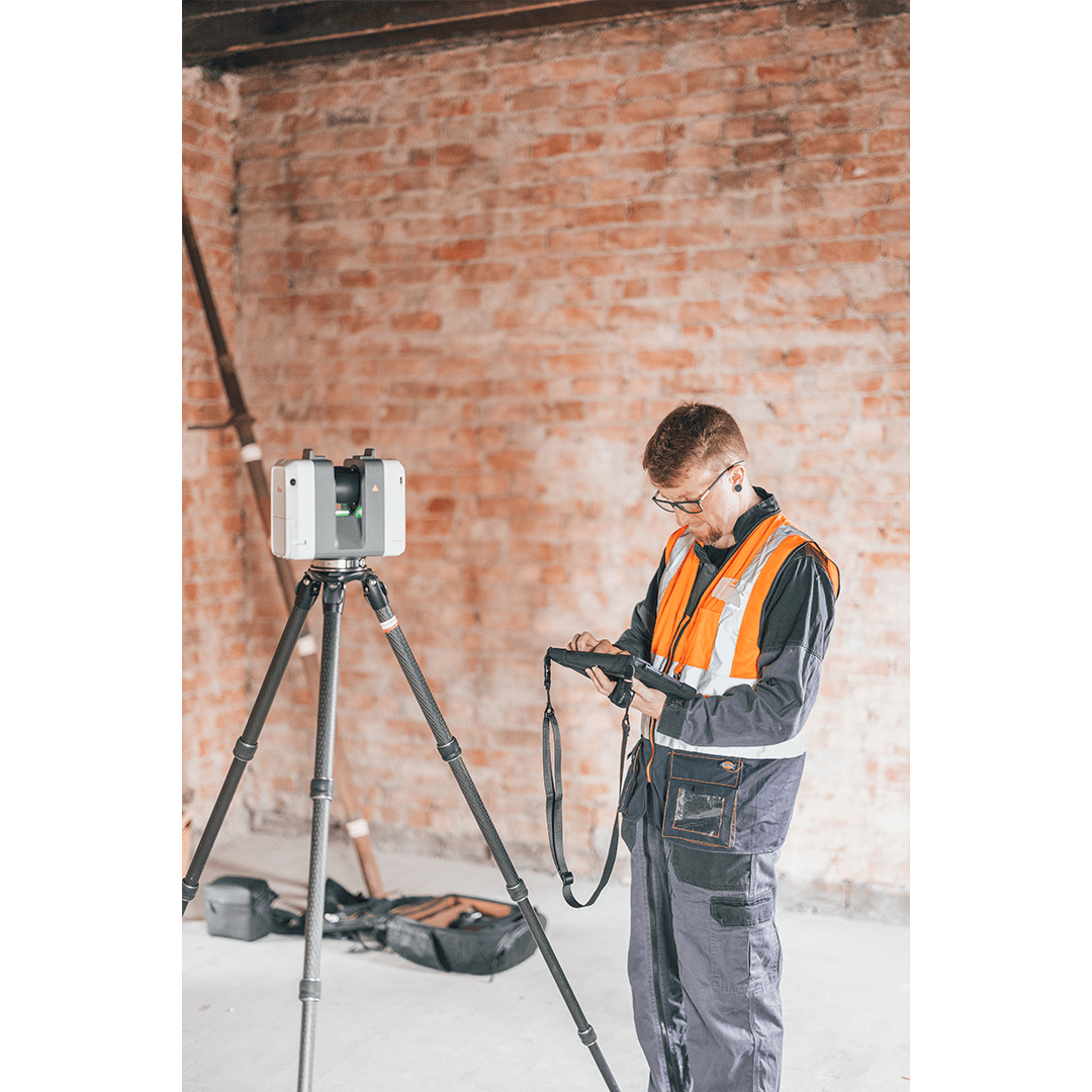
At Awesome Proportions Limited, we are proud to expand our architectural services with advanced 3D LiDAR scanning, laser scanning and measured building survey solutions. Provided nationally across the UK, these services allow us to capture highly detailed digital data of existing buildings and sites quickly, accurately and efficiently — supporting projects of all scales.

Our technology helps bring your vision to life with confidence.

Offering reality capture survey, detailed 2D floor plans, accurate 3D models or BIM-ready data.

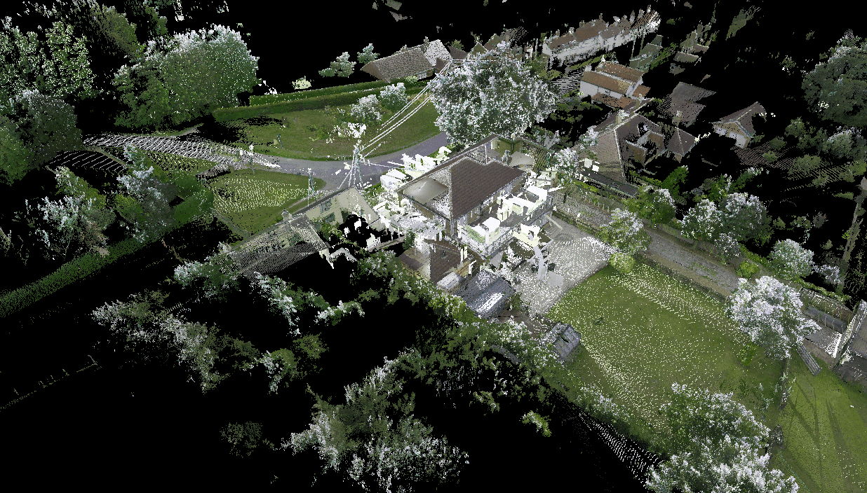
What is LiDAR scanning and reality capture?

LiDAR scanning (Light Detection and Ranging) is a powerful method of reality capture that uses laser light to measure distances and record millions of data points, creating a precise “point cloud” of your site or building.

How can the data be processed?

This data can be processed into 3D models, measured surveys, elevations, sections and BIM files, giving a complete digital record of the space accurate to within millimetres.
These services are often known as:
  • 3D measured surveys
  • Laser scanning surveys
  • Reality capture surveys
  • Point cloud surveys
  • Measured building surveys
By offering all of these under one roof, we help architects, developers, planners and building owners make fully informed decisions as well as simply record the property assets they already own and operate.
A man dressed in workwear and a high vis jacket stands looking at a tablet. To his left is a LiDAR scanner, exposed brick in the background.

Benefits of our measured survey and laser scanning services

1. Accuracy and detail

Traditional surveys can miss subtle but critical details. Our 3D LiDAR scanning captures comprehensive data quickly, reducing errors and ensuring your plans reflect real-world conditions — essential for historic buildings, refurbishments and complex sites.

2. Faster project turnaround

By speeding up the measured survey stage, we help your project move forward sooner, keeping costs under control and reducing time spent on site.

3. Powerful 3D and BIM models

The rich point cloud data can be transformed into detailed 3D models and BIM-compatible files, improving design coordination and communication with your team, planners and stakeholders.

4. National coverage

Based in the UK, we deliver laser scanning and measured survey services nationwide — from London and the South East to, Yorkshire, Scotland and beyond.

5. Versatile applications

From small residential refurbishments to large commercial or heritage projects, our reality capture surveys adapt to a range of project types and sizes. Scans can also be extremely useful when planning demolition and clean-up projects.

Why choose Awesome Proportions Limited?

As a RIBA Chartered practice, we combine creative design expertise with the latest digital survey technology, ensuring data-driven decisions, better design outcomes and smoother delivery. Our investment in advanced reality capture and LiDAR scanning technology reflects our dedication to adding real value for our clients.

If you’d like to see how our measured building survey, laser scanning or 3D reality capture services could benefit your project anywhere in the UK, please contact us. We’ll be glad to share sample outputs and discuss your requirements.

Scroll to Top Skip to content